|
|
|
|
|
|
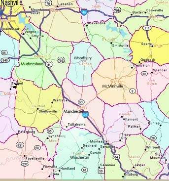
Map of part of Middle Tennessee. (Map prepared by L. Leach) |

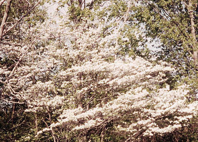
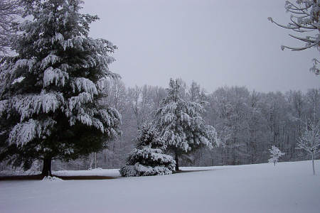
| Coffee Co. Pictures |
|
MAIN MENU == Two Tennessee Parks: == Old Stone Fort at Manchester (Pgs. 2-4) Fall Creek Falls near Spencer, Tn.(Pgs. 5-6) ==Scenes near Monteagle: == Mountain Scenery (Page 7) University of the South (Page 8) ==Middle Tennesse Scenes: == Some Country Pictures (Page 9) Some Nashville Pictures(Page 10) ==Walking Horse Country Pictures: == Wartrace, Tennessee (Pgs. 11-12) Shelbyville, Tennessee (Pgs. 13-14) ==Some Civil War History: == Stones River Battlefield(Pgs. 15-16) Hoover's Gap Battlefield (Pgs. 17-20) Army of Tennessee at Tullahoma (Pgs. 21-22) ==Special Markers and Old Camps: == In and around Tullahoma (Pgs. 23-24) |